Dashiwara Series of Sabo Dams
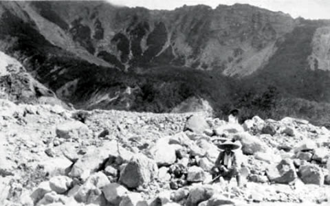
Upstream area of Dashiwara-dani as of 1922
(Courtesy of Laboratory of Forest Hydrology and Erosion Control Engineering The University of Tokyo)
The Dashiwaradaira Heights are located just below Mt.Tombiyama, which was devastated by the Hietsu Earthquake in 1858, and was formed by the collapesed sediments from it. The Dorodani Valley, Dashiwaradaira Valley, and Shintani Valley, etc. which originate from the Mt.Tombiyama are all prone to causeing debris flow.
To utilize the Dashiwara Height as a sediment retardation area, where debris flow can be safely flooded, several 'Base Dams' constructed at such devastated valleys were connected each other with a 1.3 km-long trainning dyke revetment. We also developed debris flow training dykes that would guide the flow of debris so that it is controlled within the same valley as it generated.
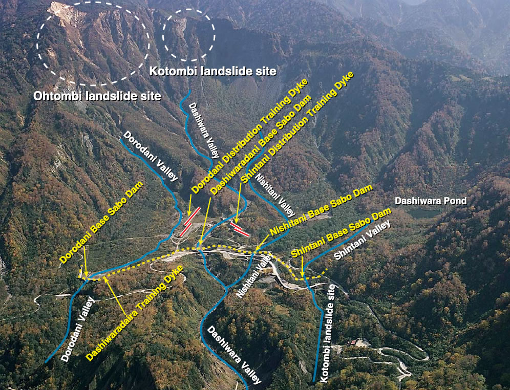
Tombiyama collapsed area and Dashiwara daira sabo structure. directly under the collapsed site